Welcome!
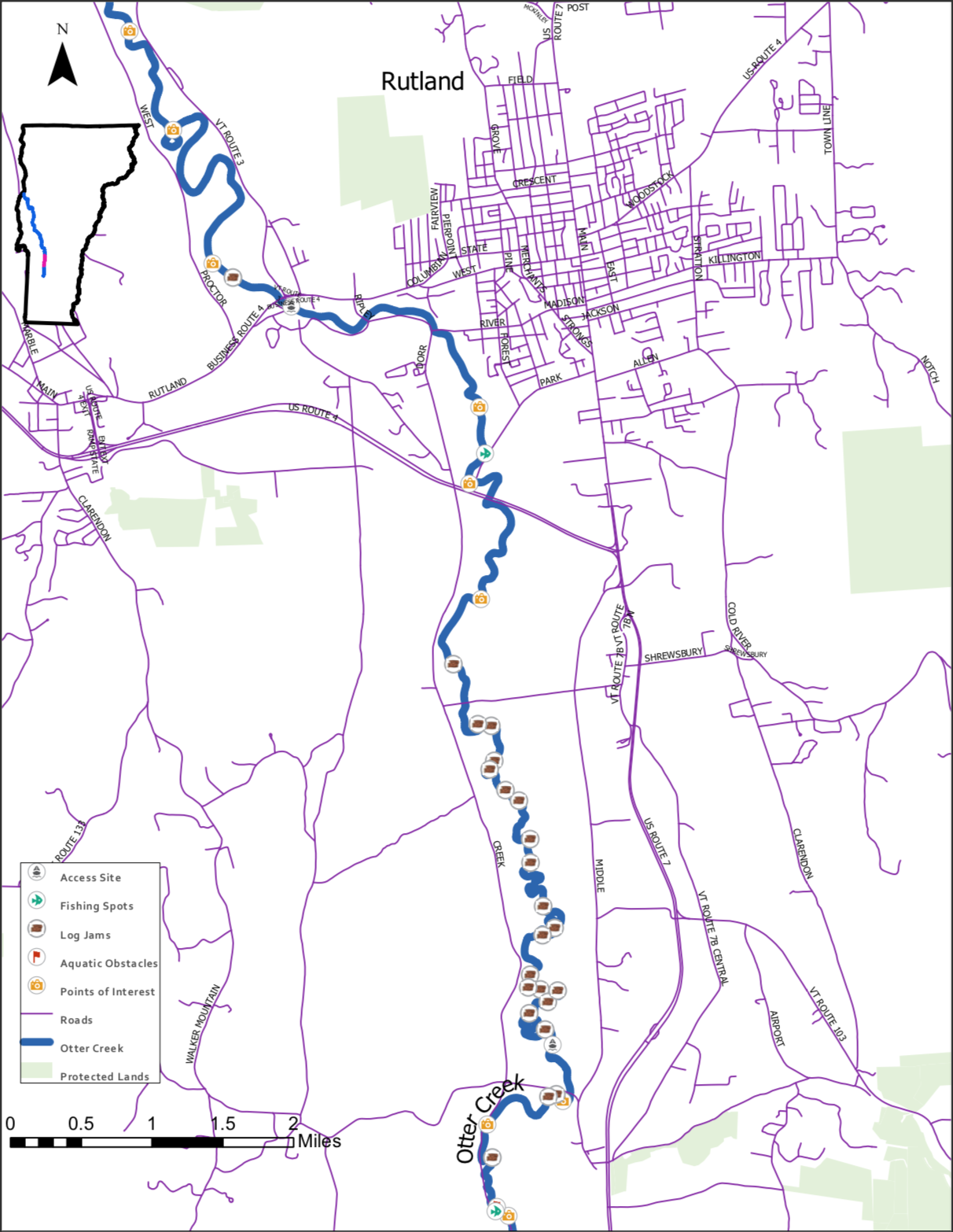
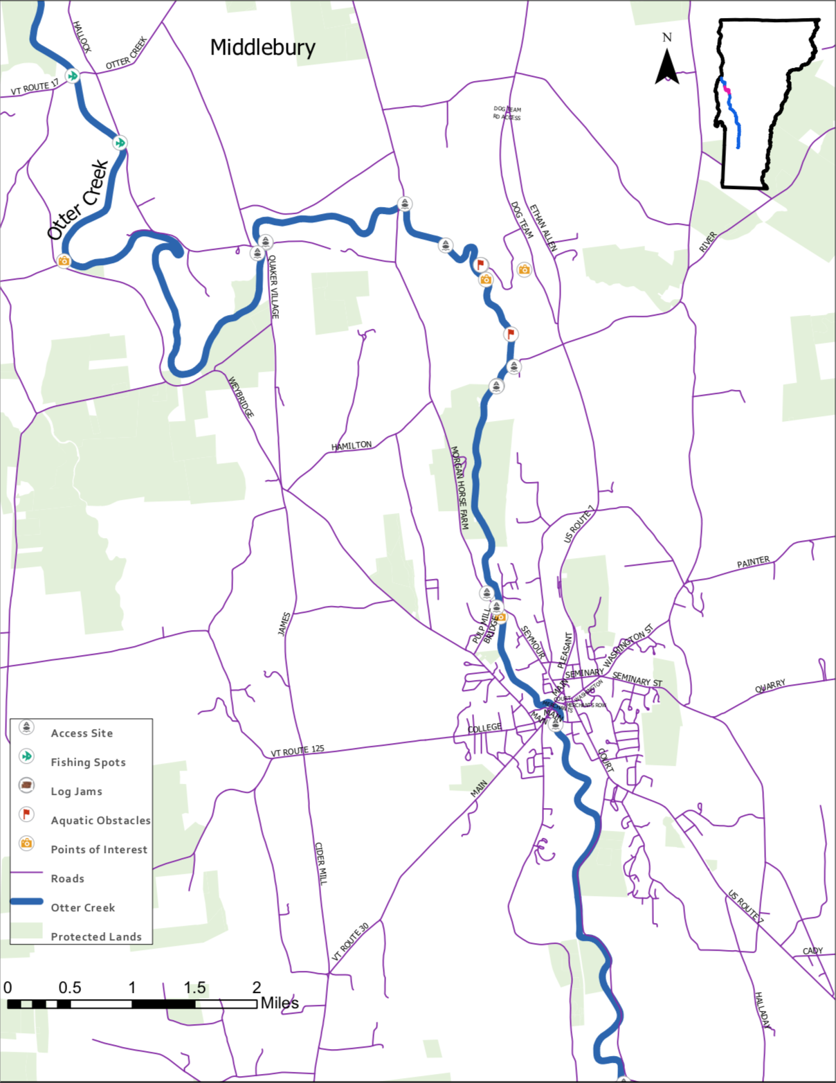
This website was created by Max Solter, Marissa Flynn and Eleanor Downie as part of a class project at the University of Vermont. As you scroll down the page, you will encounter a series of maps that will help guide you in your recreational endeavors along Otter Creek. Our hope is to provide easily accessible information about the various points of interest and obstacles along the creek. We hope that you will find this information useful!
Interactive map of Otter Creek. To see the legend, click the list icon in the lower right corner.
Leave No Trace!
While we encourage you to enjoy partaking in limitless recreational activities along Otter Creek, please remember that this is a unique ecosystem that is home to a diverse range of animals. If you visit this area, please do your part by disposing of waste properly and picking up litter whenever possible. Leave no trace!
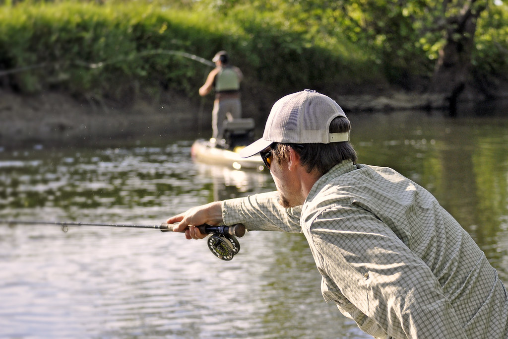
Man flyfishing in Otter Creek at Middlebury, Vermont. Photo by Bradley Austin.
References
Data References:
"Need To Know Info For Fishing Otter Creek, VT | Getaway Vacations". 2019. Getaway-Vacations.Com. https://getaway-vacations.com/blog/fishing-otter-creek-vt/.
Vermont Fish and Wildlife. 2019. "Fishing Access Areas". Geodata.Vermont.Gov. http://geodata.vermont.gov/datasets/VTANR::fishing-access-areas.
VT Center for Geographic Information. 2019. "VT Data - E911 Road Centerlines". Geodata.Vermont.Gov. http://geodata.vermont.gov/datasets/vt-data-e911-road-centerlines.
VT Center for Geographic Information. 2019. "VT Data - State Boundary". Geodata.Vermont.Gov. http://geodata.vermont.gov/datasets/vt-data-state-boundary.
The University of Vermont Spatial Analysis Lab 2016. "River Main Stem Waterbodies (WBID)". Geodata.Vermont.Gov. http://geodata.vermont.gov/datasets/VTANR::river-main-stem-waterbodies-wbid.
Vermont Fish and Wildlife. 2019. “Otter Creek Trail Map”.
Images:
Maps were created by Max Solter, Marissa Flynn and Eleanor Downie.
